I like London’s (England’s?) long, thin, very vertical, outdoor maps. Whenever I am out and about photoing, I photo them:
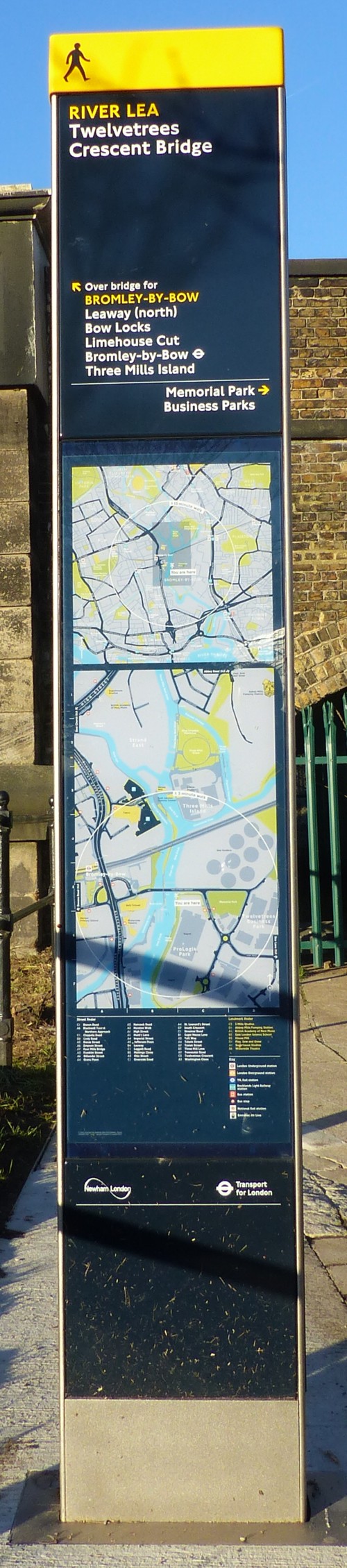
There’s nothing like a photo of a map with “You are here” on it, to tell you exactly where you were. That’s where I was, early on, on the day I later took these pictures.
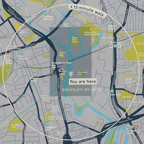
Seriously, it is often quite difficult to work out exactly where I was when I look through the products of one of my photographic perambulations. This kind of snap turns it from difficult to obvious.
Especially if you can actually see the bit where it says “You are here”, like this:
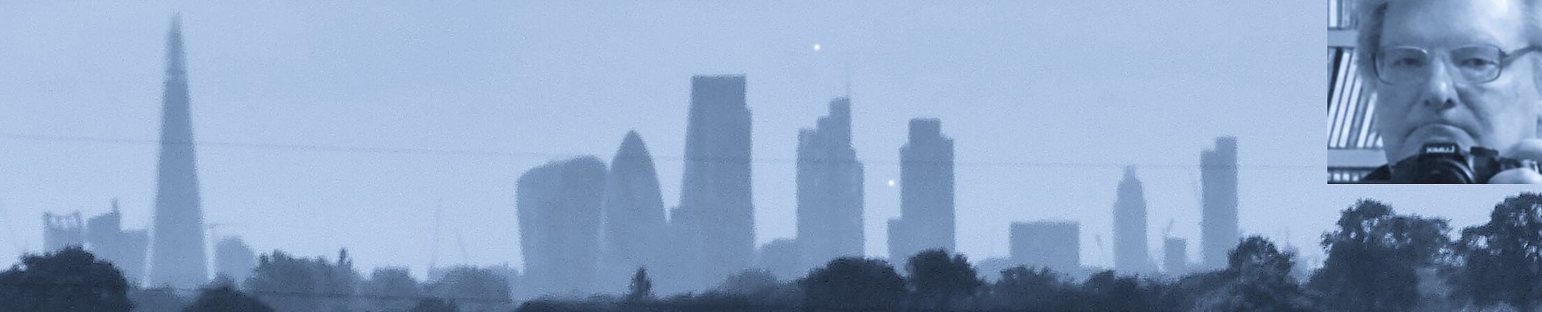
I’ve recently been on several expeditions to this intriguing part of London, with its convoluted waterways. Maps are nice, but there’s no substitute for actually being there. With a camera.